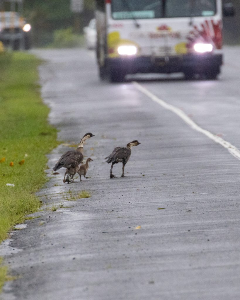
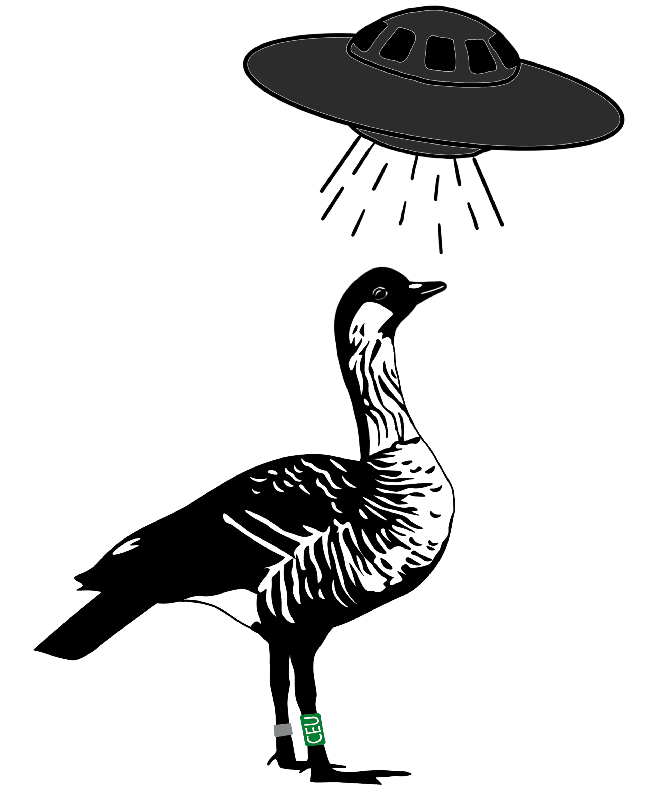
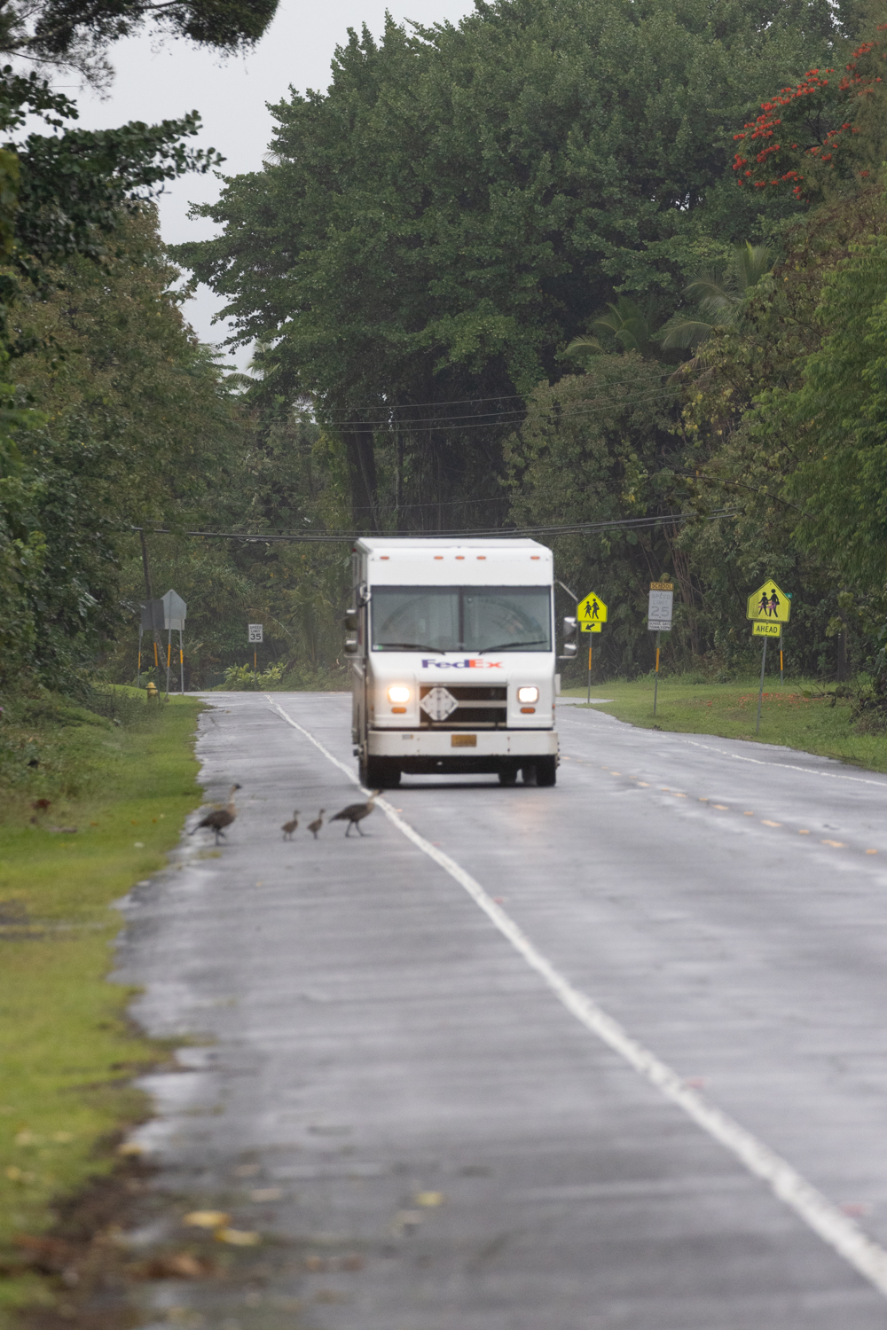
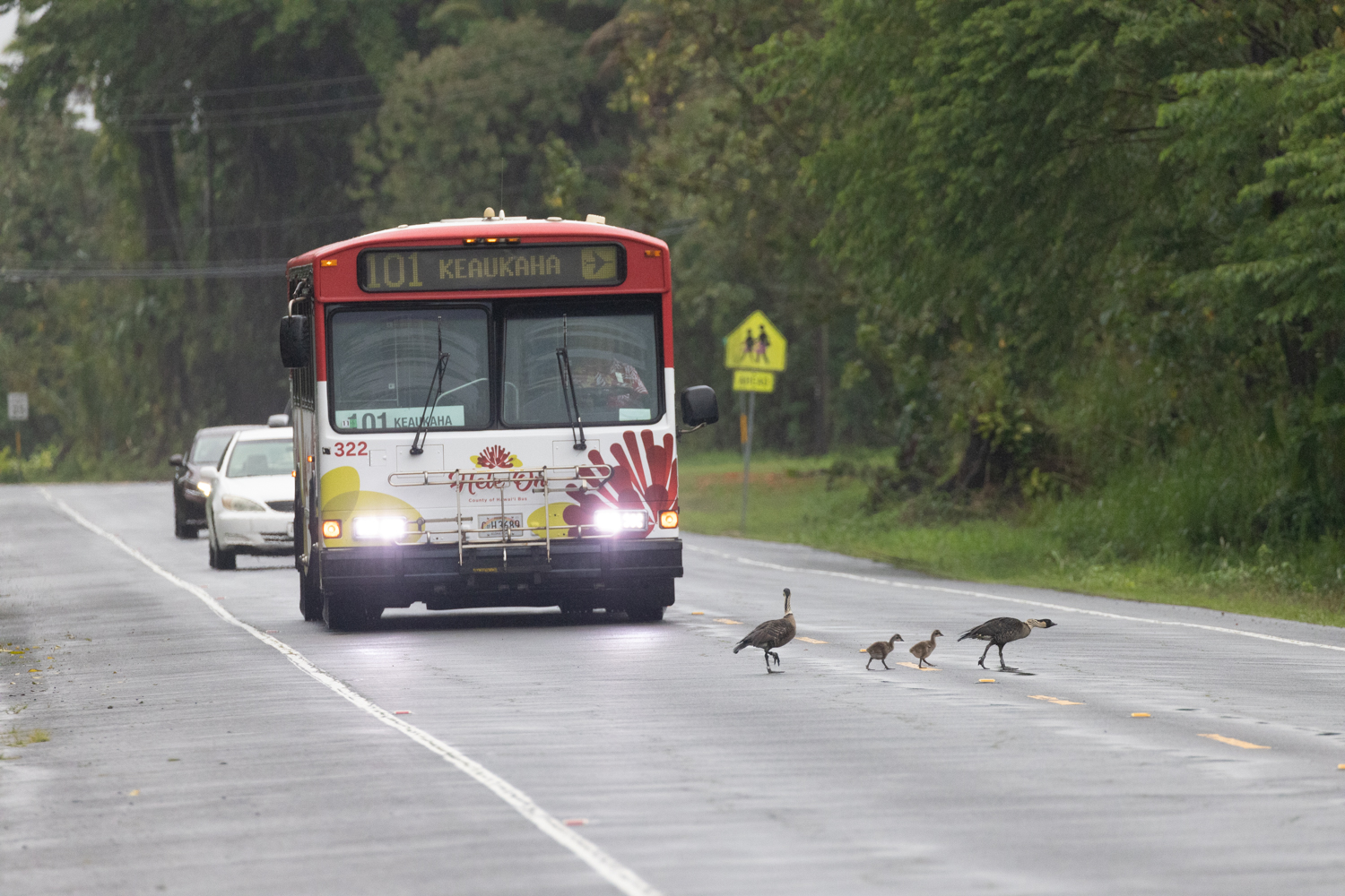
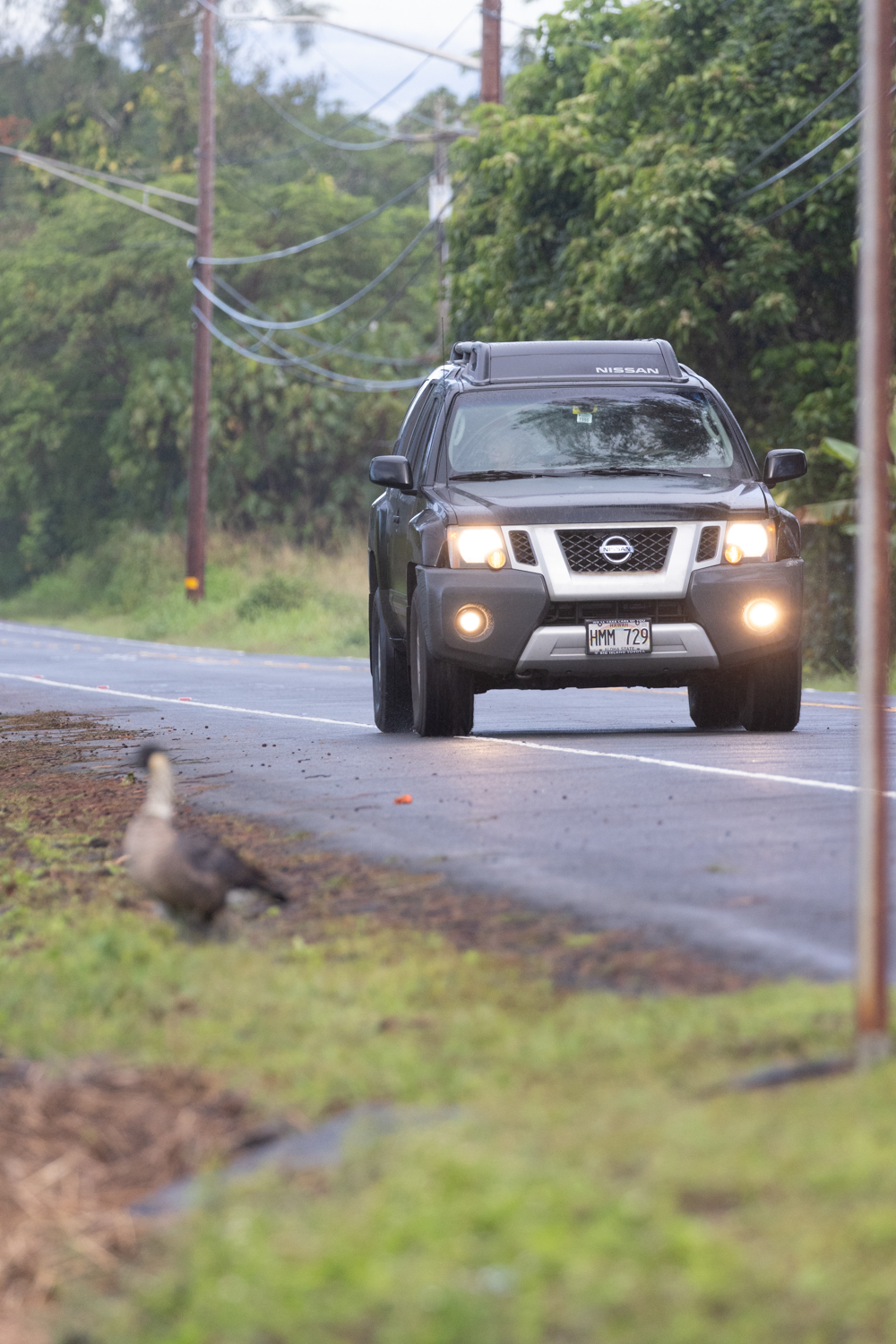
As nēnē populations increase and their range expands, they become exposed to more threats. In Keaukaha, we have observed sightings of 23 banded individuals and two goslings who utilize the stretch between Liliuokalani Park and Kings Landing, where at least four nine nene have died since 2021. Organizations such as ʻĀina Hoʻōla Initiative, Kamehameha Kumuola, and Hui Hoʻoleimaluō have restored areas along the coastline, which have attracted native species back to their natural range. It is crucial to develop infrastructure that allows better coexistence between native species and human activity.
*** While we typically refrain from disclosing nesting locations, we have made an exception to create this map, underscoring the significance of this area. Our intention is to emphasize the urgent necessity of implementing speed limit legislation and improving compliance with the speed limit
Government Response
In June 2023, our Executive Director Jordan Lerma presented an update on the state of Nene on Hawaiʻi Island to the Hawaiʻi County Policy Committee on Infrastructure and Assets. In response to the presentation and data we collected during this project the County has adopted a resolution to reduce the speed to 25mph along the stretch where nene have been getting hit and Hawaii County Public Works has created a site plan to install six speed tables and two raised crosswalks.
Data Exploration
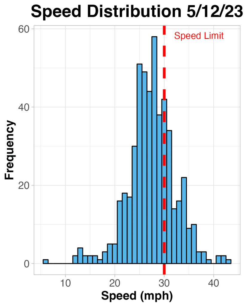
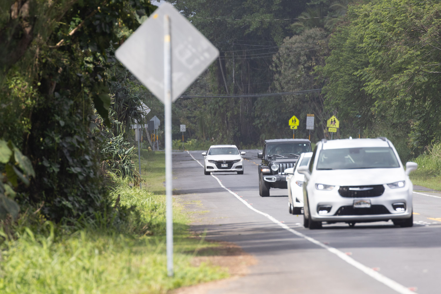
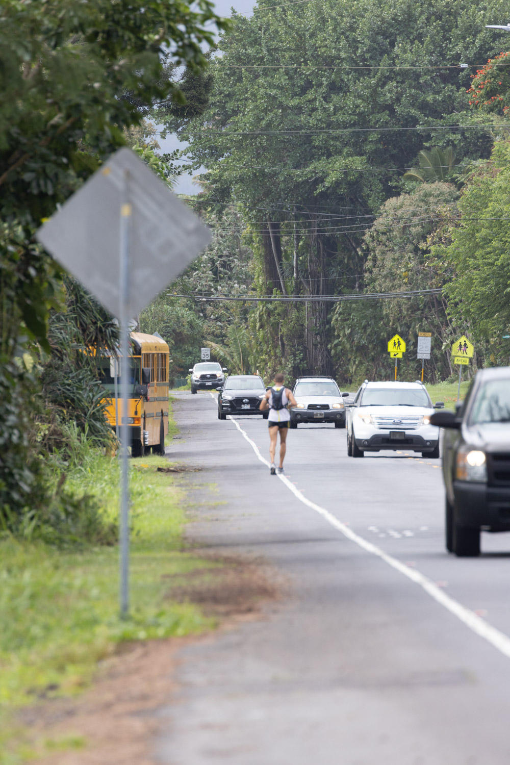
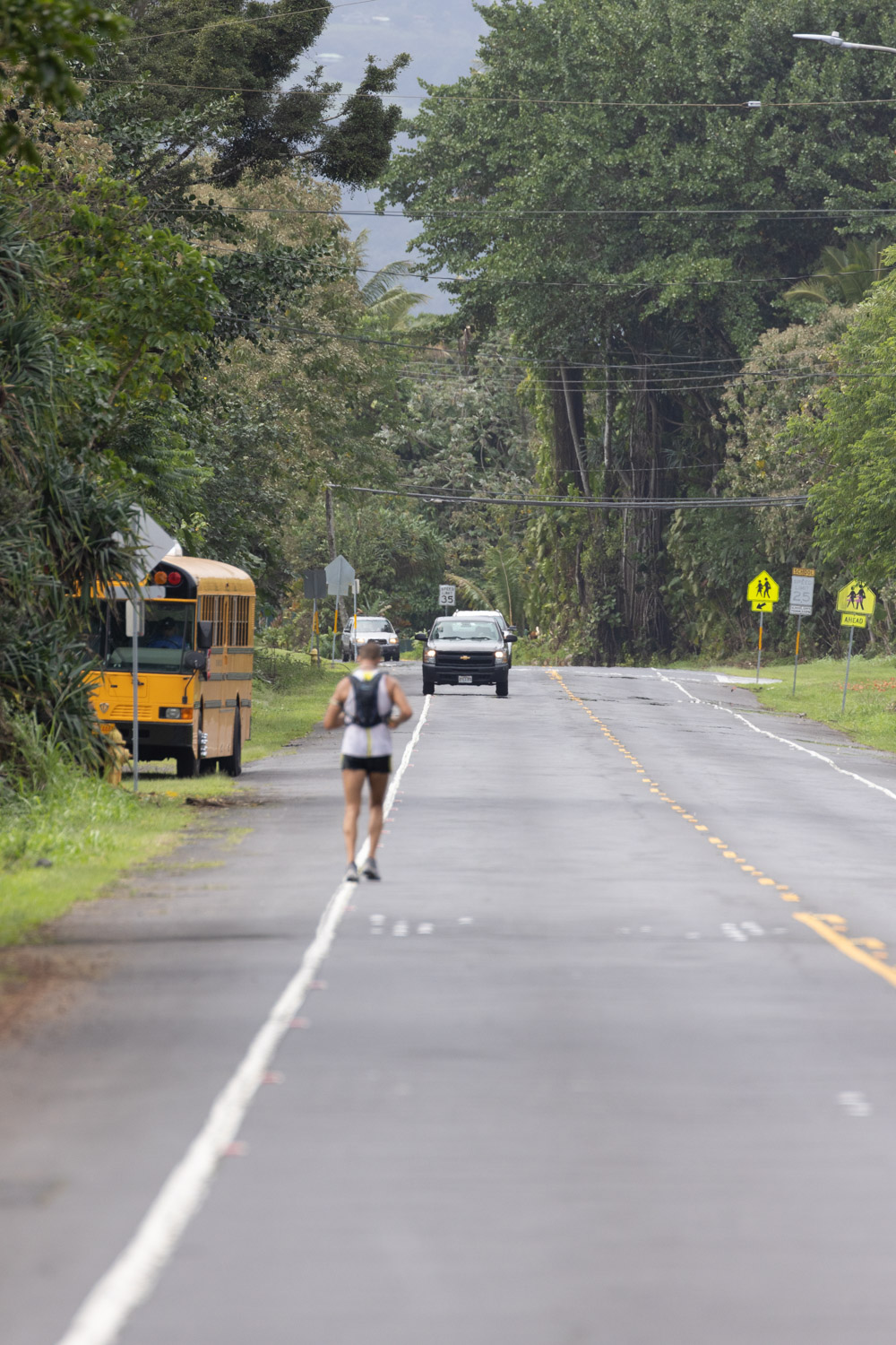
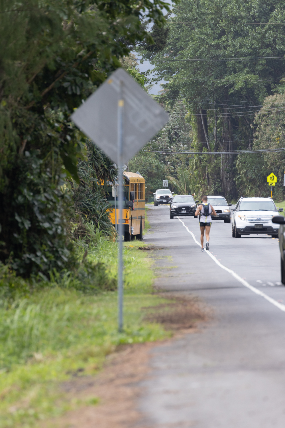
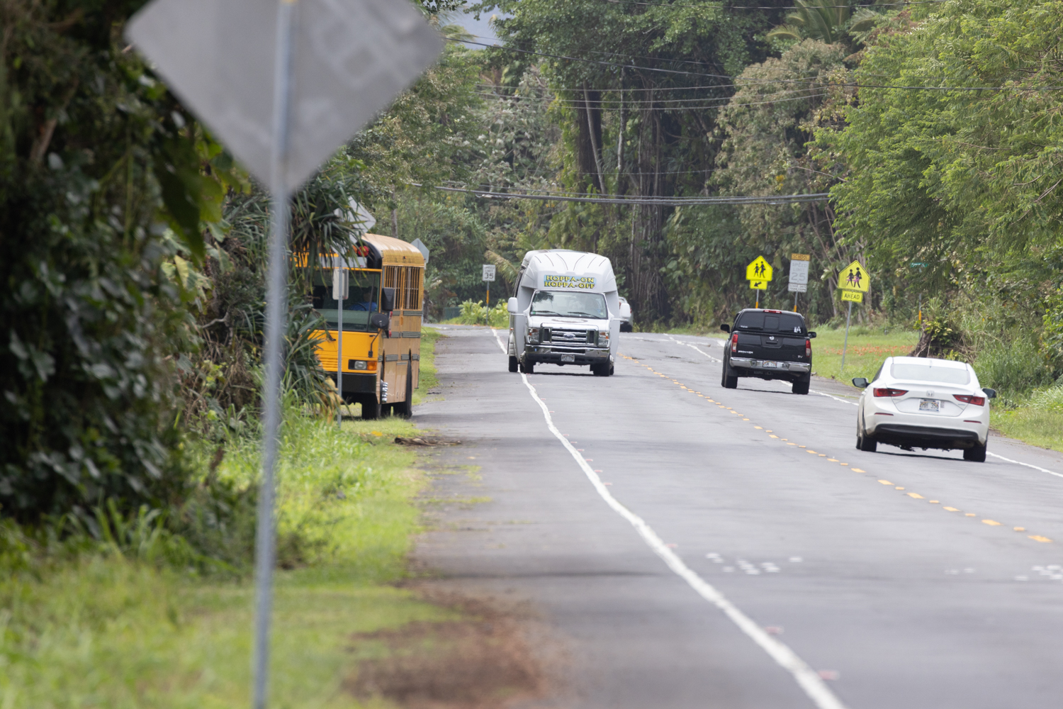
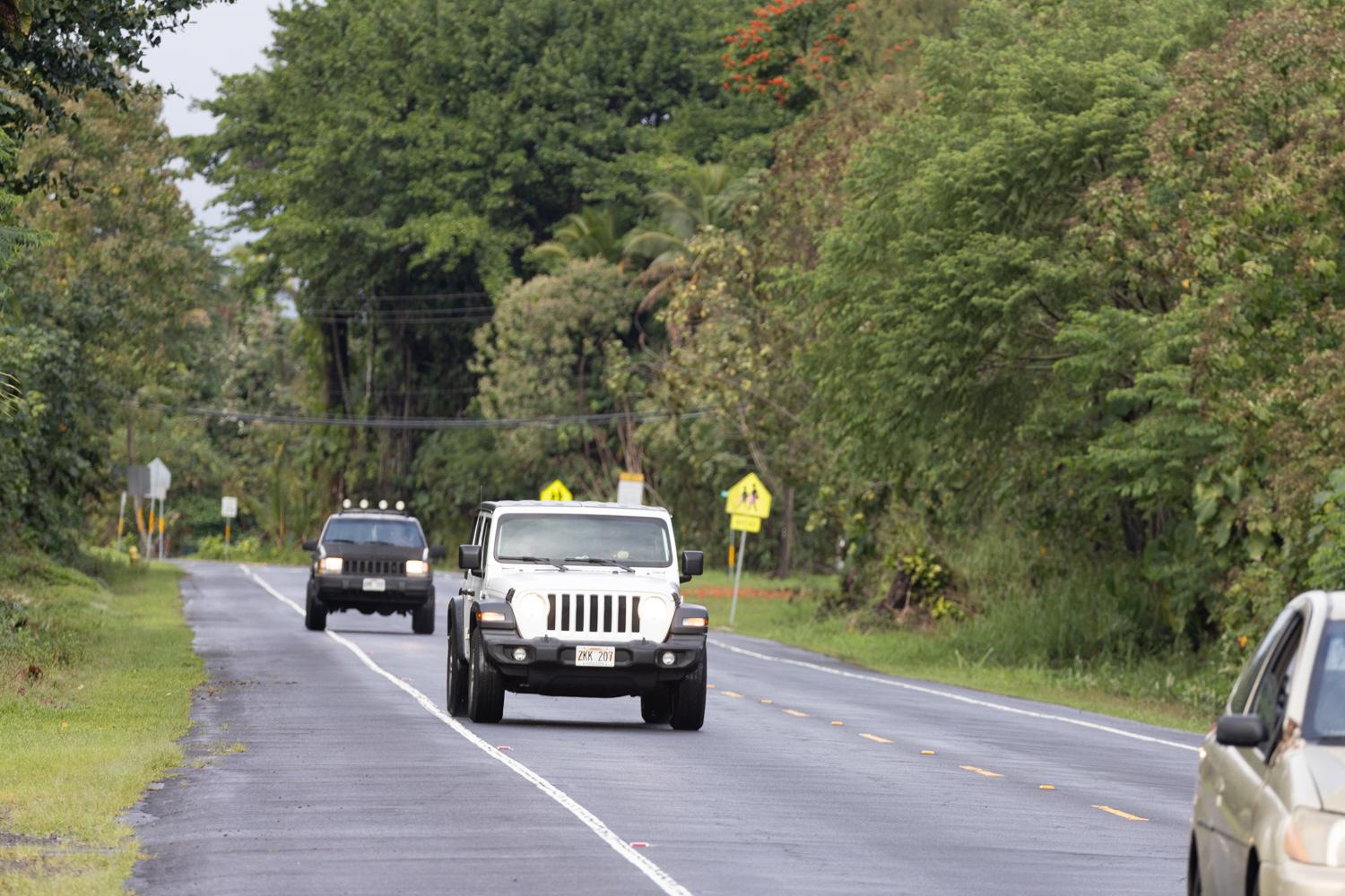
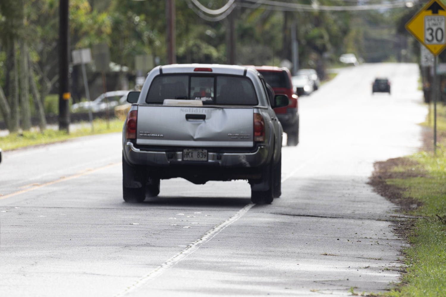
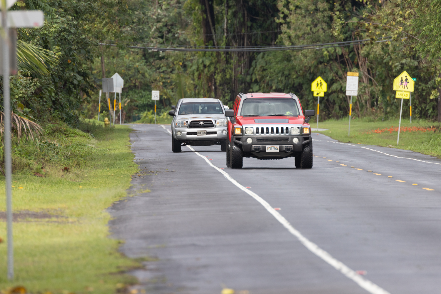
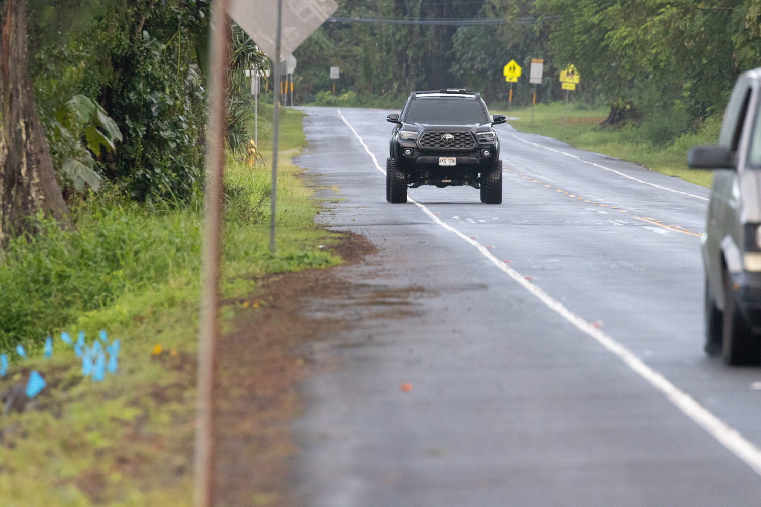
In May, our team has been engaged in the construction, testing, and deployment of custom-built radar speed data loggers along Kalaianaole St. The objective of this project is to gain a deeper understanding of driver behavior and speed compliance on this particular stretch of road. Initial analyses and visualizations of our recorded data seem to align well with our on-site observations, reinforcing the reliability of our data collection methods and the relevance of our findings.
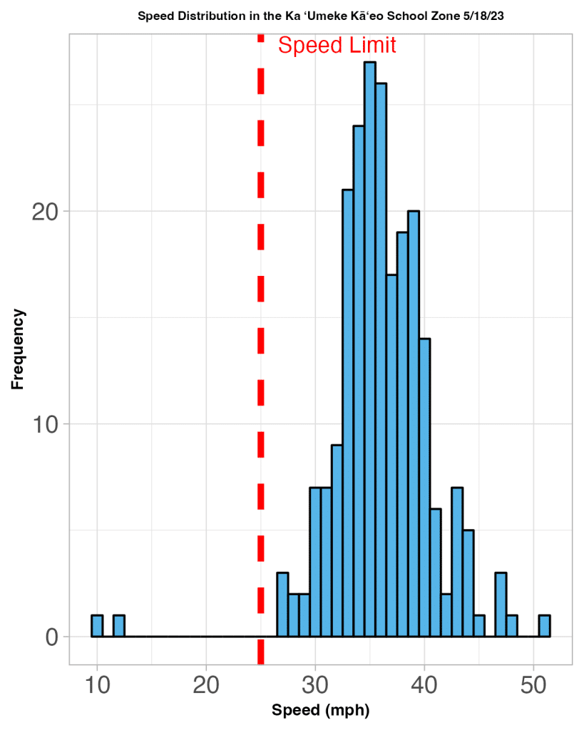
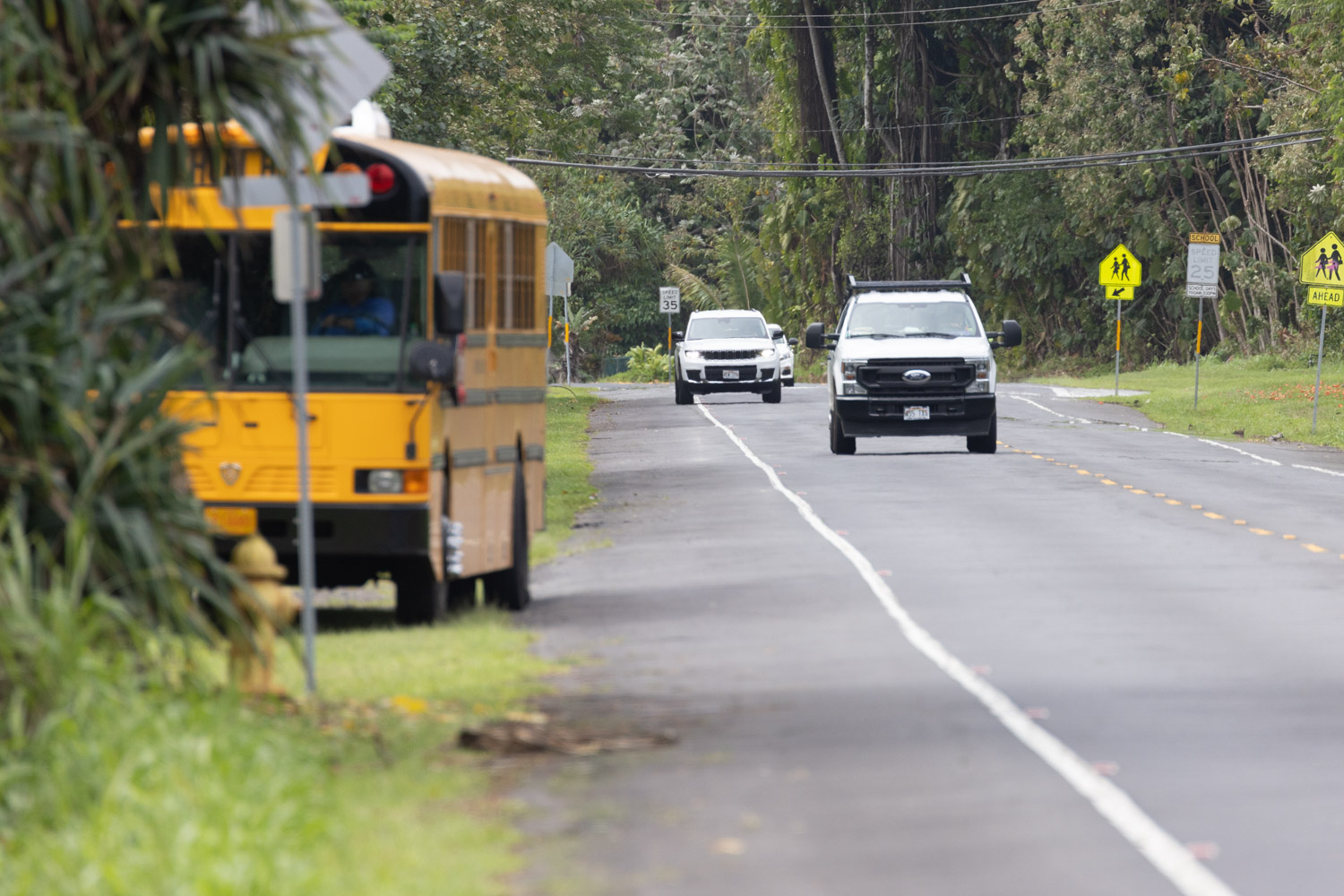
Radar was deployed within the school zone from 10:00am to 1:30pm.
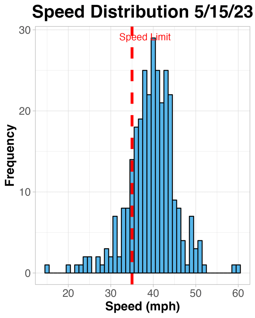
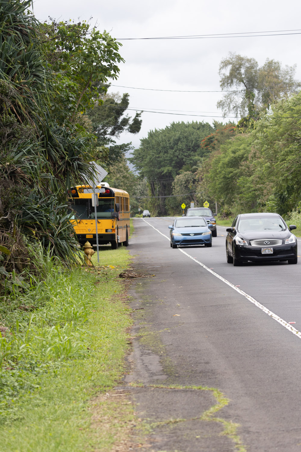
Radar was deployed at 19.733744, -155.031257 from 10:00am to 2:00pm
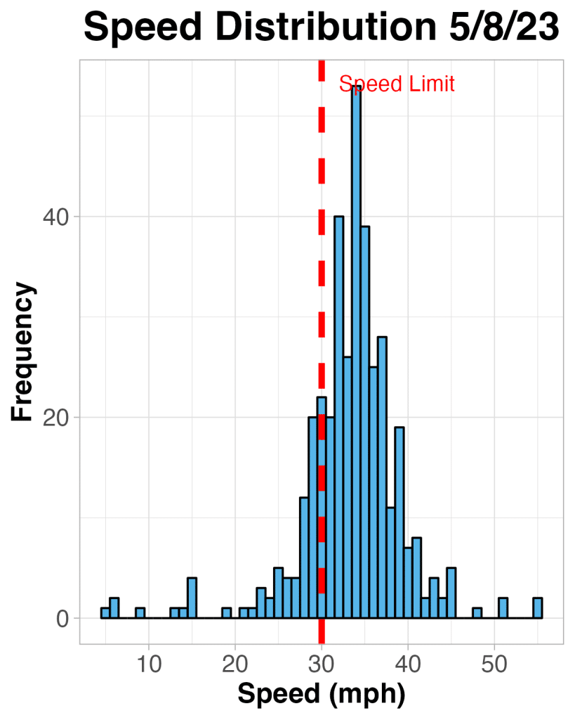
Radar was deployed at Carlsmith Beach Park from 10:00am to 1:30pm.
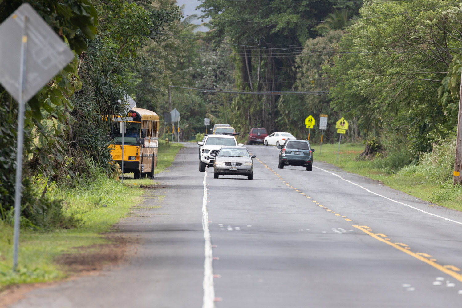
Radar was deployed at Carlsmith Beach Park from 10:00am to 1:30pm. There was a mobile speed radar sign at Kumuola on 5/12/23 which likely explains the increase in vehicles traveling the speed limit.